The Roads That Don't Exist on Any Map (But Everyone Local Knows)
There's a moment every traveler eventually has — the one where a local looks at your phone screen, tilts their head, and says something like, "Why would you go that way?" Then they point you down an alley that isn't on Google Maps, across a vacant lot that's clearly been a shortcut for decades, or through a neighborhood that your routing app skipped entirely in favor of a wider, slower, more commercial street. You follow them. It works perfectly. And you start to wonder what else the map has been hiding.
The answer, as it turns out, is quite a lot.
Drawn by Colonizers, Followed by Algorithms
Most of the infrastructure that digital maps are built on traces back to colonial-era surveying and road-building projects that were never designed with local movement in mind. They were designed for extraction — moving goods, troops, and administrative control outward from centers of power. In Latin America, sub-Saharan Africa, and South and Southeast Asia, the roads that appear most prominently on modern maps often follow the same corridors that colonial administrations laid down in the 18th and 19th centuries.
Urban planner and researcher Adriana Flores, who studies informal mobility networks in Mexico City, puts it bluntly: "The formal street grid was built for a city that was imagined by people who didn't actually live in it the way most residents do. The informal paths — the atajos, the shortcuts through vecindades, the routes through markets — those emerged from actual human behavior over generations. They're more efficient for daily life. They're just invisible to outsiders."
And now those colonial-era corridors are being reinforced by algorithmic logic. GPS routing systems optimize for speed, road width, and traffic data — all of which tend to favor major arteries and commercial zones. The result is a feedback loop: tourists and newcomers use the app, the app gets more data about those routes, and the informal paths that don't generate data remain invisible. The map doesn't just reflect reality. It shapes it.
The Paths That Predate the Borders
For indigenous communities around the world, this invisibility cuts even deeper. Many traditional travel and trade routes don't just predate modern road infrastructure — they predate the national borders that now cut across them.
In the American Southwest, Pueblo and Diné communities have maintained trail networks through canyon country that have been used for centuries, connecting villages, ceremonial sites, and water sources in ways that don't correspond to any county road map. Some of these paths are on public land that's technically accessible, but they're not marked, not promoted, and not findable through any standard navigation tool. You only learn about them if someone tells you.
Similar dynamics play out globally — in the Andean qhapaq ñan trail network (portions of which UNESCO has recognized, though vast stretches remain undocumented), in the transhumance routes across the Pyrenees used by shepherds for millennia, in the footpaths connecting fishing villages along coastlines that road-builders simply bypassed. These routes carry memory. They carry ecological knowledge. They carry identity. And most mapping platforms treat them as if they don't exist.
Indigenous guide and cultural educator Marcus Runningwater, who leads land-based tours in the Four Corners region, says the invisibility is sometimes intentional. "Not every path is meant to be on a map. Some of those routes are protected knowledge. But others — the ones that connect communities, that show how people actually relate to this land — those deserve to be understood. Not necessarily published, but understood."
What Your App Doesn't Know About the Neighborhood
You don't have to travel internationally to experience this. It happens in American cities too.
In cities like Baltimore, Detroit, and Houston, longtime residents navigate through informal pedestrian connections — gaps between properties, informal easements, paths through parks that don't show up as through-routes — that can dramatically change how a neighborhood functions on foot. These paths often emerged in communities that weren't prioritized for sidewalk infrastructure, where people created their own connectivity out of necessity.
Urban designers have started paying attention. "We call them desire paths," says landscape architect Jonah Weiss, who works on community-centered planning projects in the Midwest. "They're literally the routes people have worn into the ground through repeated use. Sometimes we pave them. Sometimes we realize they reveal something the formal grid got wrong entirely."
The famous diagonal path worn across a campus quad — the one that gets paved after administrators finally admit the original walkway was in the wrong place — is the lighthearted version of this. The more serious version is a mobility network that an entire community depends on that planners and map companies have simply never bothered to document.
How to Actually Find These Routes
So what's a traveler supposed to do with all of this? You can't exactly Google "shortcuts locals use that colonial infrastructure ignored."
But you can do a few things that actually work.
Talk to people who commute, not just people who host tourists. The guy waiting for the bus at 7 a.m. knows the neighborhood differently than the person running a walking tour at 2 p.m. Ask how they get around. Ask what they avoid. Ask what they'd tell a friend visiting for the first time.
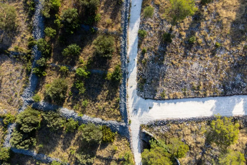
Look for the worn spots. Grass beaten flat across a corner lot. A fence with a section that's clearly been pushed open repeatedly. A dirt trail that runs parallel to the paved path. These are desire lines, and they're usually desire lines for a reason.
Use maps as a starting point, not a script. Pull up the satellite view instead of the street map and actually look at the landscape. You'll start to see connections — paths through green spaces, informal routes along waterways — that the routing layer ignores entirely.
Ask about the old way. In many places, especially rural ones, there's a road or path that everyone used before the highway came through. It might still exist. It might be more interesting than the highway. It almost certainly tells a better story.
The Map Is an Argument
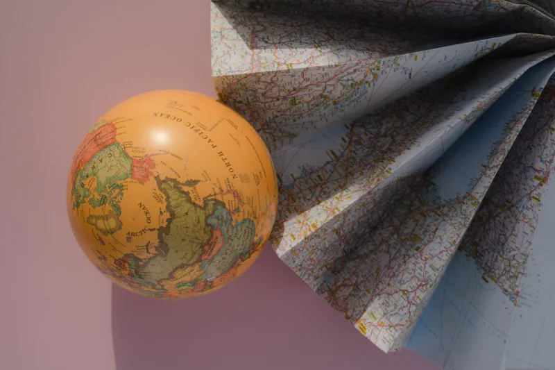
Here's the thing about maps that's easy to forget: every map is an argument about what matters. What gets labeled, what gets a road, what gets connected to what — those are choices made by people with specific interests and specific blind spots. The colonial surveyor had interests. The highway engineer had interests. The GPS company optimizing for ad revenue near commercial corridors has interests.
None of those interests are necessarily yours as a traveler. And none of them are the interests of the communities you're passing through.
The routes that locals actually take — the ones worn into the ground by generations of daily life, the ones that connect places the official grid ignores, the ones that follow the logic of the land rather than the logic of administration — those are the routes that reveal how a place actually works. They're the ones that will show you something a map never could.
You just have to be willing to put the phone away long enough to notice them.